Scotland’s Rock Art Project (ScRAP) is the most comprehensive investigation of prehistoric rock art in Scotland to date. The project developed a systematic study of rock art across the country using the data co-produced with community teams (see ScRAP Case Study). Following other holistic approaches (O’Connor 2006, Valdez-Tullett 2019), a comprehensive methodology was devised during the project aimed at recording the rock art at different scales: the motifs, the panel and the landscape (Barnett et al 2024).
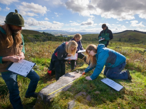
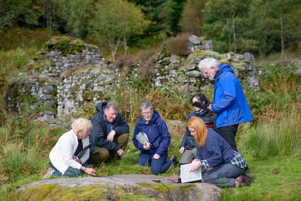
A small scale of analysis examined the motifs and fine details of the iconography, such as design and carving techniques. A medium scale of analysis focused on the rock media, the panel, the structure of the compositions, and how the motifs related to each other and natural features of the rock surface. A larger scale of analysis explored the landscape context, and the location of the rock art panels in relation to natural and archaeological features. The study involved descriptive and photographic documentation, sketches and digital 3D models (see Section 3.3.2). The use of a standardised methodology ensured a similar level of data was collected for all panels. The recorded information was uploaded to a live database which guided fieldwork and provided a large and detailed dataset for analysis during the project.
This approach enabled a deeper appreciation of the rock art, and also challenged enduring assumptions about the placement of rock art within the landscape. Since Bradley’s seminal study (1997), it has been argued that the location of carvings was largely dictated by extensive views over the surrounding landscape, intervisibility between panels, and a relationship to routeways. ScRAP explored a range of natural and cultural landscape variables, including geology, soil types, aspect, elevation, slope, land-use, peat depth, and proximity to other sites such as funerary monuments and areas of settlement. This revealed a complex pattern, and showed that one model and explanation does not apply to all the regions where the rock art is found. For example, the carvings are predominately situated in accessible places on relatively gentle mid-slopes of southwards-facing land.
Some panels are located in terrain and soil types that could be used for agriculture, while others are in areas only suitable for grazing. In some cases, panels are located near natural routeways, but others are found in relatively concealed places, suggesting they were not meant to be seen or re-visited frequently. In certain instances rock art has no relationship with other archaeological sites or funerary monuments, but in others it is found in areas with evidence of intense prehistoric activity. ScRAP’s research demonstrated that rock art was created and used in a variety of contexts across Scotland. It suggests that the carvings may have served multiple purposes, and one explanation does not fit all (Barnett et al 2022, Barnett et al 2024).
Overall, ScRAP showed that the iconography of Atlantic Rock Art in Scotland (as in other regions) is relatively standardised, created in a similar way, with a similar imagery and in similar contexts, but also that there are clear regional preferences in the motifs, the rocks types used, and the places that people chose to carve. These differences attest to the diversity of prehistoric communities that are also evident in other aspects of the archaeological record.
ScRAP’s methodology, rooted in the computational and statistical analysis of a robust database, enabled a better understanding of rock art in its Neolithic and Early Bronze Age context, and its wider regional and inter-regional connections.