Ever since the 1914-1923 excavations on Traprain Law and the discovery in 1919 of the spectacular late Roman silver hoard, numerous scholars have focussed on East Lothian when discussing political and social developments in Iron Age Britain (Cree 1923; Curle 1920, 1923). That said, despite the large number of probable Iron Age sites in East Lothian, it is surprising how few of them were excavated pre-1980s, with the exception of a few sites, such as Craig’s Quarry, Dirleton (Piggott 1958).
This changed with the excavation of five curvilinear enclosures along the East Lothian agricultural plains and coast. Three sites were excavated ahead of quarrying in the late 1970s and early 1980s at St Germains (Alexander and Watkins 1988), Broxmouth (Hill 1982; Armit and McKenzie 2013) and Dryburn Bridge (Triscott 1982; Dunwell 2007). Two others were excavated in advance of new housing at Fishers Road, Port Seton (Haslegrove and McCullagh 2000). Crucially, radiocarbon dating accompanied the excavations allowing new insight into the chronology of enclosures with all five sites yielding evidence of habitation in the 1st millennium BC continuing to varying degrees into the early 1st millennium AD. All sites were found to be more complex than suggested by previous survey (Haselgrove 2009). The A1 development between Haddington and Dunbar was also of great importance. As the scheme was designed to largely avoid the ‘known’ archaeology (for example the enclosures) the excavation led to new information, particularly on sites that were previously hard to identify during survey or had previously not been excavated, only one previously known enclosure was directly affected, at Eweford C-Road (LeLong and MacGregor 2007).
All of these excavated sites were related to development-led activity – quarrying, housing and road development. Since the inception of planning-development law and increased scheduling by Historic Environment Scotland, the overwhelming majority of excavations in the area have been initiated through applied (developer-led) archaeology and this has continued apace in recent years with important excavations that aid our Iron Age understandings at, for example, East Barns, Dunbar and Musselburgh and a suite of new burial sites (Dunbar forthcoming; Kirby 2020; Dalland 1991; Baker 2002 and Roy 2015).
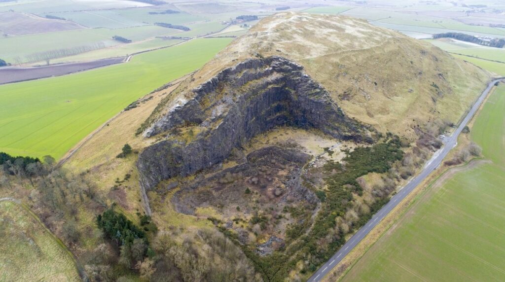
Research projects led by universities, museums, and community groups, of course, continue to be critical to understandings of East Lothian, shown no better than in the landscape work by Durham University in the Traprain Law Environ Project (TLEP) and the excavations at White Castle (Haselgrove 2009; Connolly, Cook and Kdolska 2021). TLEP allowed a landscape approach whereby a range of sites were investigated around the iconic Traprain Law. Importantly, many of the sites were scheduled and excavation returned not only academic value but also information on the future management of said sites. As such, TLEP is an excellent case study of pragmatic partnership working across sectors for different outputs. Moreover, the work undertaken by the Hillforts of East Lothian Project aimed to increase the volume of data on hillforts from East Lothian, with a particular focus on the Lammermuirs. The results from this project compliment and critique existing and emerging models from the East Lothian agricultural and coastal plains.