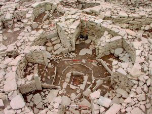
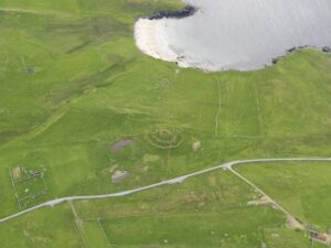
In 2000, Biddy Simpson, then of Shetland Amenity Trust, set up the Shetland’s Past Project, teaching local history groups to create meaningful archaeological records: The Unst Archaeology Group and Whalsay and Papa Stour History Groups became very involved. More recently, both the SCAPE Trust and RCAHMS (now Historic Environment Scotland) have joined forces with local groups, including Archaeology Shetland, to map areas of hillside.
Developer funded archaeology began in 1986 with the excavation of the Catpund homestead and soapstone quarries (Ballin Smith 2005) but central government funding (through the Scottish Development Department, forerunner of Historic Scotland) remained important in early development led excavations, including Upper Scalloway broch (Sharples et al 1998). Government funding facilitated a number of coastal erosion surveys and associated excavations, including Burland, Tangwick Haa and Cruester burnt mounds. Excavations of the Bronze Age buildings at Bayanne, Yell, Easting, Unst and Landberg, Fair Isle, which was perhaps uniquely threatened by puffins burrowing, were also made possible through government funding (Moore and Wilson 2014, Stumman Hansen unpublished, Hunter unpublished).
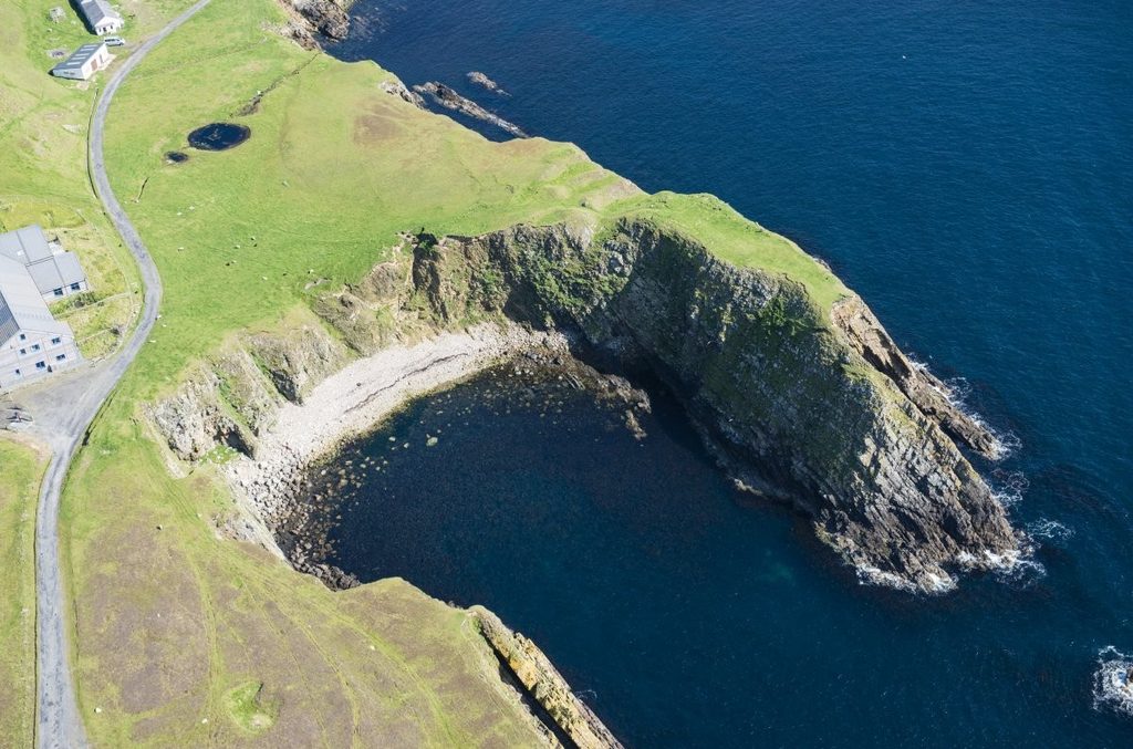
Research has been a significant driver for a number of university-led projects, including a valuable series of chapel surveys (Morris and Brady 2000), the Papar Project, Papa Stour, and excavations at St Ninians’ Isle (Barrowman et al 2011), Brei Holm, Papa Stour (Brady and Batey 2008), Lawtingholm (Coolen and Mehler 2014) and Hanseatic bods (Gardiner and Mehler 2010). Collaboration between Shetland Amenity Trust and Bradford University combined survey and excavation in the South Nesting Palaeolandscape Project (1991-1993), during the excavation of Old Scatness broch and Iron Age village (1995-2006) and in the Viking Unst project (2006-2010) also involving Roskilde Viking Ship Museum. The Viking Unst project saw the excavation of three longhouses (of a possible 70 identified in the island) and demonstrated that there was no blueprint for Viking/Norse settlement in Unst (Turner et al 2013). Subsequent refinement of the dating evidence has shown that the building at Upper Underhoull, with its soapstone carving of Thor, a sprung floor and one turf wall, was the first conclusively dated Viking settlement in Shetland (Outram et al 2019).
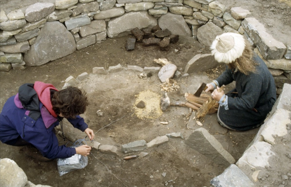
The Old Scatness project, planned as the excavation of a broch, resulted in the excavation of two remarkable post-broch Iron Age villages (Dockrill et al 2010, 2015, 2019). The excavation was extensive in its dating programme, demonstrating that the broch was built between 400-200 BC (a lot earlier than previously thought), and pioneering the development of OSL as a tool for archaeology (originally applied to geology and deep time). Old Scatness filled in multiple gaps in our knowledge of the Iron Age and helped archaeologists to better understand both Jarlshof and Clickhimin. It still provides a frame of reference in understanding Shetland’s archaeology. The fact that community interpretation and involvement was considered just as important as cutting-edge scientific work was also pioneering at the time. It seems remarkable now that the interpretation programme even led to criticism of some of the Bradford team.
In recent years developer funding has led to significant discoveries including Shetland’s earliest known settlements (Raey 2011, ORCA in prep), a Bronze Age cremation cemetery (Space Port, Unst, AOC in prep) and a pair of cists in Fair Isle (SIC/CFA in prep). Even small contracts have led to significant discoveries, including Pictish buildings at Upper Scalloway (2020), a broch with central ‘well’ at Channerwick (2014) and a possibly early Viking longhouse at Norwick, Unst (2013). Meanwhile, research projects still make a significant contribution, including the North Roe felsite project, now in its 10th year (Cooney and Megarry 2018).
As recent development has demonstrated, where planning applications for large-scale development, above and below sea level, proliferate commercial archaeology is likely to play a significant role in mapping Shetland’s past into the future. The increasing use of drones presents opportunities for not only aerial photography and LiDAR, but also airborne geophysics. In any event, the potential to map new aspects of Shetland’s past will have a long and fascinating future.
Continue reading: Recent PhD research