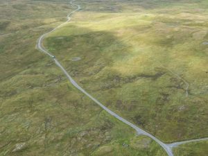
Calder’s first paper reported the discovery and excavation of Stanydale ‘Temple’ (1950). In 1956, he published a list of 57 house sites omitted from the Shetland volume, including a number of maps of prehistoric houses in their landscape settings. These included Gruting School (two house sites and numerous clearance cairns), Ness of Gruting (houses, field dykes, clearance cairns, and lynchets), the Scord of Brouster (three house sites, field dykes, and clearance cairns), and Stanydale (the ‘temple’, as well as three other house sites, field dykes, and clearance cairns). This was followed by excavations on Pettigarths Field, Whalsay (1961), and a second list of surveyed sites, including 31 cairns, 14 house sites, and 7 burnt mounds (1963). Calder also partially excavated Sae Breck broch in 1954 and jointly published an excavation at the Beorgs of Uyea with LG Scott (1954).
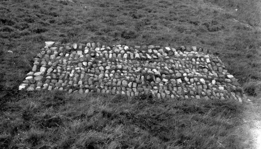
Simultaneously, TH Bryce classified the Shetland chambered tombs as a group of heel-shaped cairns with trefoil, or cruciform, chambers (1949-50). Bryce pioneered work on the Shetland chambered cairns, recognising that the tombs were passage-graves having affinities with the short horned cairns of Caithness, but concluding that they were ‘a variety of chamber tomb developed independently in Shetland by people with traditions of their own’. Subsequently, Audrey Henshall’s Chambered Tombs of Scotland went on to identify, describe and map 55 chambered cairns in Shetland (1963).
The first Viking Congress was held in Lerwick in 1950, fostering a spirit of cooperation between Scottish/British and Scandinavian scholars. However, the amount of archaeology included at that time was limited. During the 1970s, the Ordnance Survey re-examined all the previously mapped sites for their Third Edition Shetland map sheets. They also added a number of new sites during field work and using aerial photography. The surveyors were trained archaeologists, but coverage still remained patchy and, in general, previous gaps in the record were perpetuated.
Shetland Museum was established in 1966 and the first curator, Tom Henderson, held a set of the First Edition Ordnance Survey maps to which members of the public were encouraged to add new sites. Some of the regular contributors were keen amateur archaeologists and had joined Calder in some of his excavation work, John Stewart notable among them. Peter Moar was a regular contributor and was the first to identify many of Shetland’s Viking longhouses. Although the majority of the public entries were very basic (‘Neolithic house’ or ‘dyke’, a six-figure grid reference and a pencil cross on the map), these maps contained a wealth of otherwise unrecorded information. In the late 1970s and 1980s, Noel Fojut contributed extensive numbers of new sites. One of the earliest locations subjected to rigorous site surveys were the stack-tops settlements, although some visits required swimming there (Lamb 1974).
Several significant research excavations took place during the 1960s and 70s, including longhouses at Underhoull, Unst (Small 1966) and Sandwick South, Unst (Bigelow unpublished). Excavations at Sumburgh Airport uncovered a Bronze Age house, and a cist containing the earliest skeletal material found to date (Downes and Lamb 2000, Hedges 1980). A stofa at the Biggings, Papa Stour revealed a possible link to Shetland’s earliest extant document from 1299 AD (Crawford et al 1999).
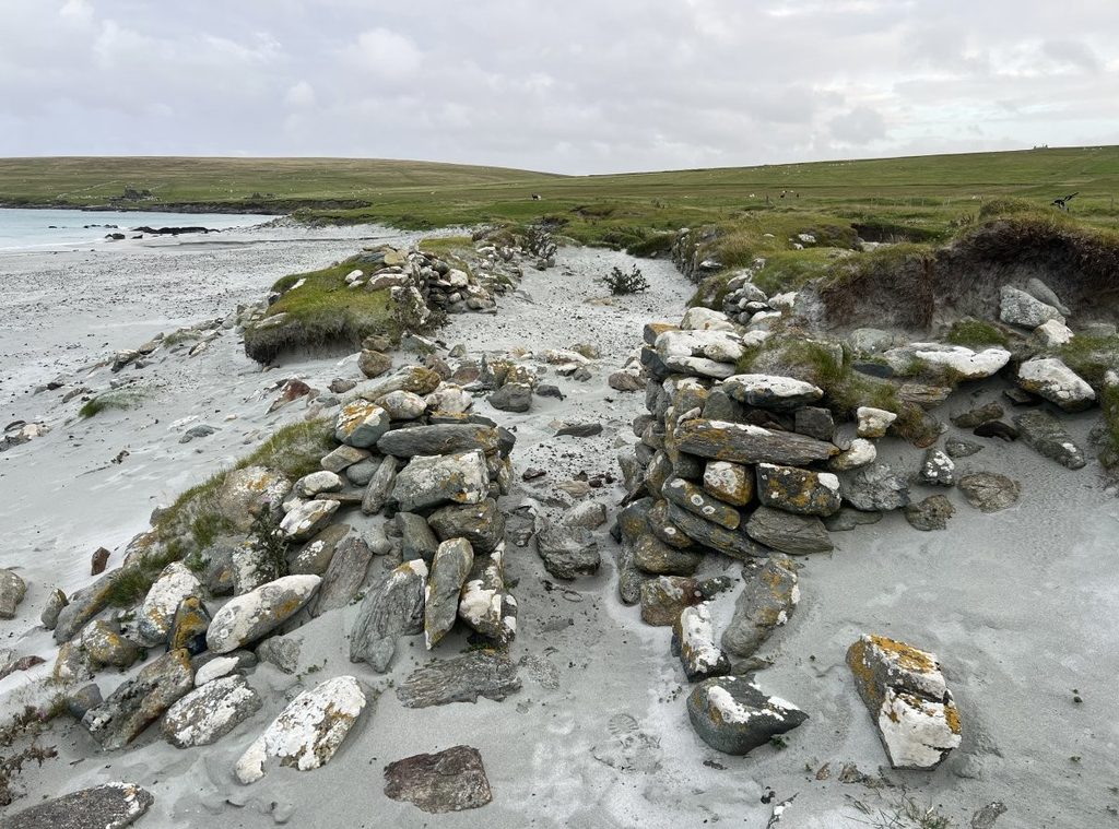
Shetland’s archaeology took another stride forward in the late 1970s as a result of two surveys linked to excavations. First, Alasdair Whittle’s work at the Scord of Brouster and Pinhoulland, which provided the first real appreciation of how remarkable Shetland’s early prehistoric field systems are (1986). Also, at Gordon Parry’s West Burra survey and excavation at Tougs (1984). Whittle’s survey in particular opened people’s eyes to the fact that it is not necessary to break the ground in order to discover Shetland’s rich archaeological heritage. Multiple surveys have proved this, perhaps the most extensive being RCAHMS which demonstrated the density and continuity of early prehistoric remains within a 10km area (2010).
Continue reading: 1980s to 2000s