
1950s to 1980s
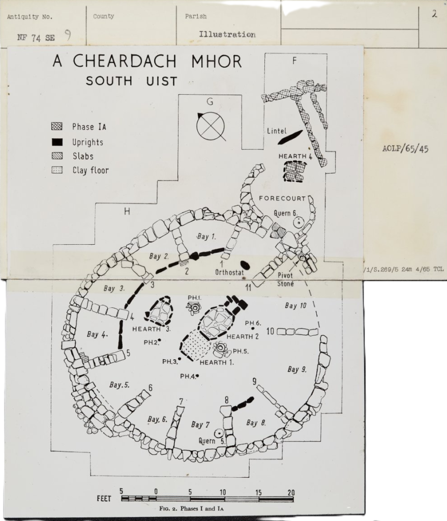
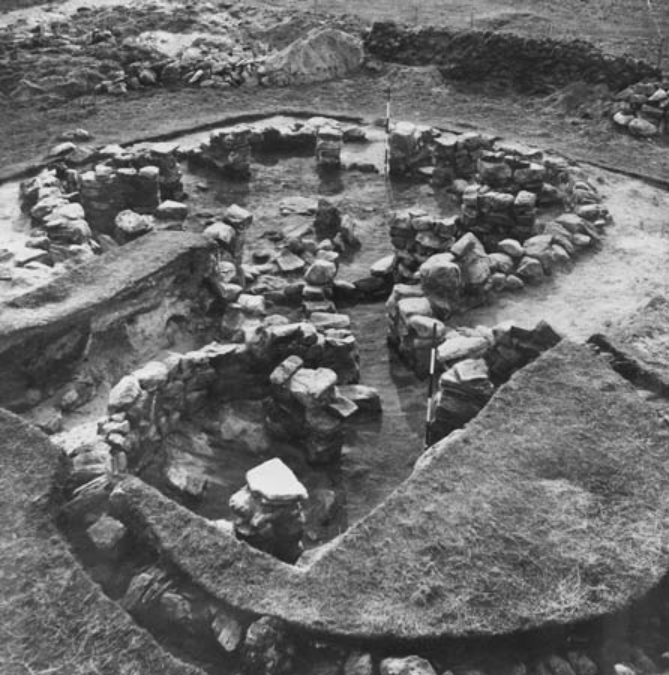
Following the antiquarian period, the research context across the Outer Hebrides became dominated by a number of key projects and developments. The construction of the rocket range in the late 1950’s led to rescue excavations across Uist by the Ministry of Works, including the wheelhouse complexes at A’Cheardach Mhor (Young and Richardson 1959) and A’Cheardach Bheag (Fairhurst 1971) in South Uist and Bruthach a’Tuath in Benbecula, as well as the Viking house at Druim Mor, South Uist (MacLaren, 1974) and the Sollas wheelhouse in North Uist (Campbell et al 1992).
At around the same time, Lethbridge excavated the wheehouse at Cille Pheadair (Kilpheder) in South Uist and in Barra, Alison Young excavated a wheelhouse at Allathasdal (Allasdale) (Young 1955). This period of excavation was followed in North Uist by the work of Ian Crawford at Coileagan an Udail (The Udal) from the 1960’s (Crawford and Switsur 1977), a group of sites which continued to dominate the research context for several decades. Excavations at Coileagan an Udail revealed a deeply stratified and incredibly well-preserved archaeological record of settlement spanning from the early prehistoric period to the 20th Century. Unfortunately, for a variety of reasons (see Sharples 2012, 13; 15) the site was never fully published, and a handful of interim reports must be relied upon (Crawford and Switsur 1977; Crawford 1986). The Neolithic material from the site has recently been published by Beverley Ballin-Smith (2018).
From the 1970’s, much of the archaeological focus across the islands was driven by an increasing concern with the threat of coastal erosion on the historic environment, with work at Roisinis (Rosinish, Benbecula) (Crawford 1978; Shepherd and Tuckwell 1979) and surveys across Uist, Lewis and Harris sponsored by Historic Scotland (now Historic Environment Scotland). The Central Excavation Unit (CEU) identified over 30 actively eroding sites across Uist, of which five were chosen for more in-depth fieldwork: Port nan Long (Newtonferry), Baile Sear and Baile Lòin (Balelone, North Uist), Gleann Dail bho Dheas (South Glendale) and Rubha Hornais (Hornish Point, South Uist) (Barber 2003).
Using a variety of methods and exploratory techniques (including geophysical survey, environmental sampling, auguring and tapestry excavation), the project aimed to investigate the eroding sites through excavation in-section and in plan, to classify sites, chronologies and their relationships (Barber 2003, 6-7). Such exploratory ‘tapestry excavations’ were a new methodology in this region, and although they were successful and informative to an extent, it became clear that eroding sections were not always reliable nor representative indicators of the nature of these sites in part due to the stratigraphic complexity and deflation of deposits. The rescue excavations at Taobh Tuath (Northton) in Harris represented another important fieldwork project from this era (Simpson et al 2006). In the 1960s this research project was also one of the first multi-disciplinary studies across the Outer Hebrides combining excavation with topographic and geological survey, and palaeoenvironmental analysis.
Continue reading: 1980an – 2000an (1980s to 2000s)