
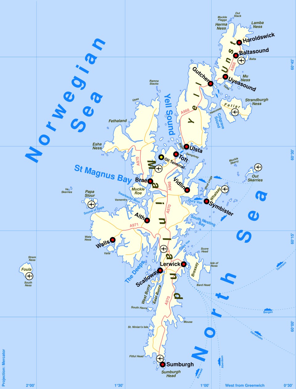
Shetland is an archipelago of around 100 islands located approximately 100km north of the Scottish mainland in the North Sea. Today, 16 of the islands within the Shetland archipelago are permanently inhabited. The largest of the inhabited islands is Shetland Mainland, with Unst, Yell and Fetlar to the north, Skerries, Whalsay and Bressay to the east and Papa Stour and Foula to the west. There are four islands joined to Shetland Mainland by bridges: East Burra, West Burra, Trondra, and Muckle Roe.
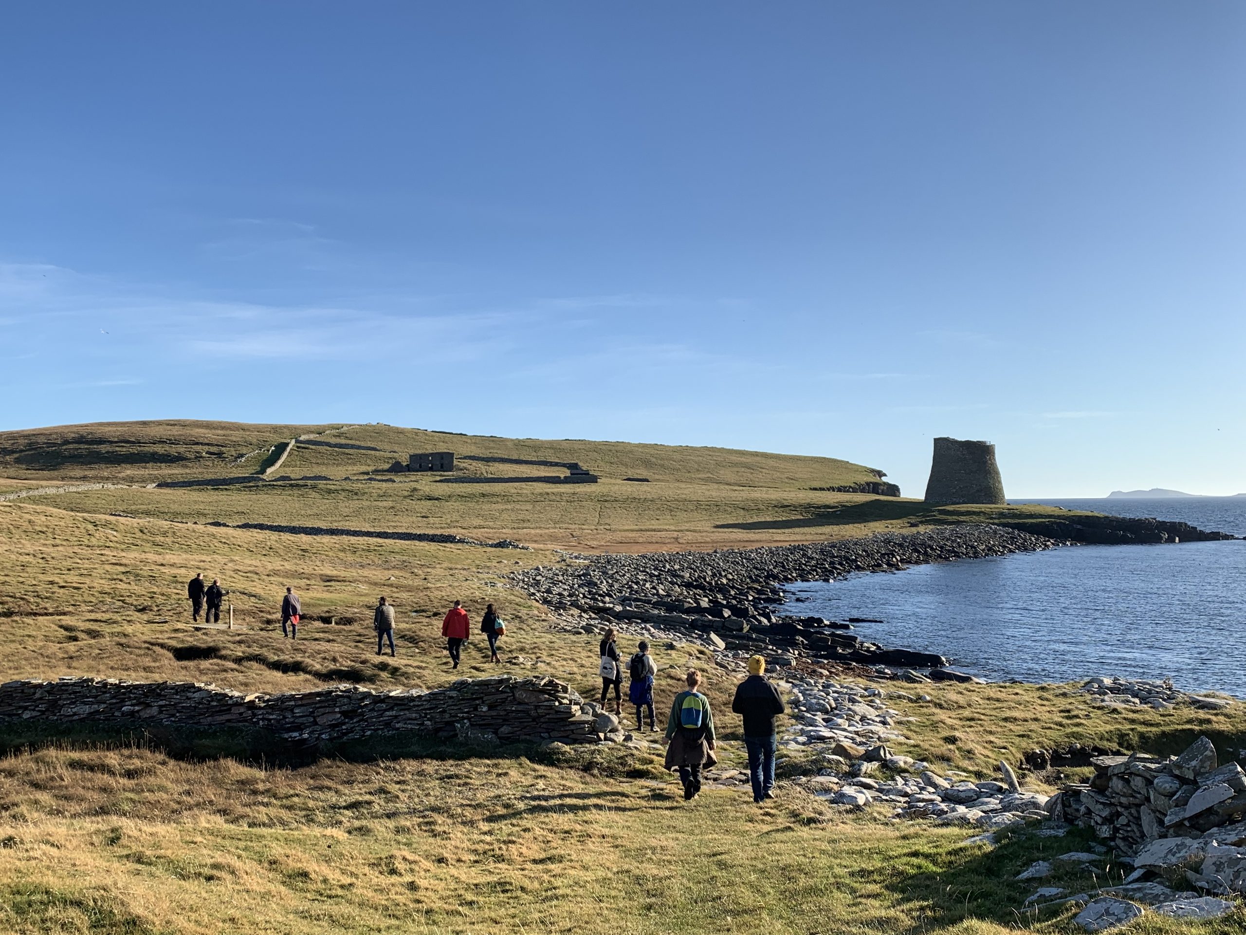
The geology of Shetland is complex and varied. Shetland’s geology is primarily composed of ancient Precambrian rocks, making it part of the Northern Highlands terrane. The islands feature a mix of metamorphic rocks, including gneisses, schists, and quartzites, formed during the Caledonian Orogeny around 400 million years ago. Shetland also has significant deposits of sedimentary rocks, such as sandstones and shales, particularly from the Devonian period. Tectonic activity and glaciation have further shaped the islands’ landscape, leading to dramatic coastal cliffs and distinctive geological formations. There are also several places where tsunami deposits are visible. Across most of the islands the natural geology is overlain by deposits of peat, supporting a wide range of flora common to moorland and heathland environments.
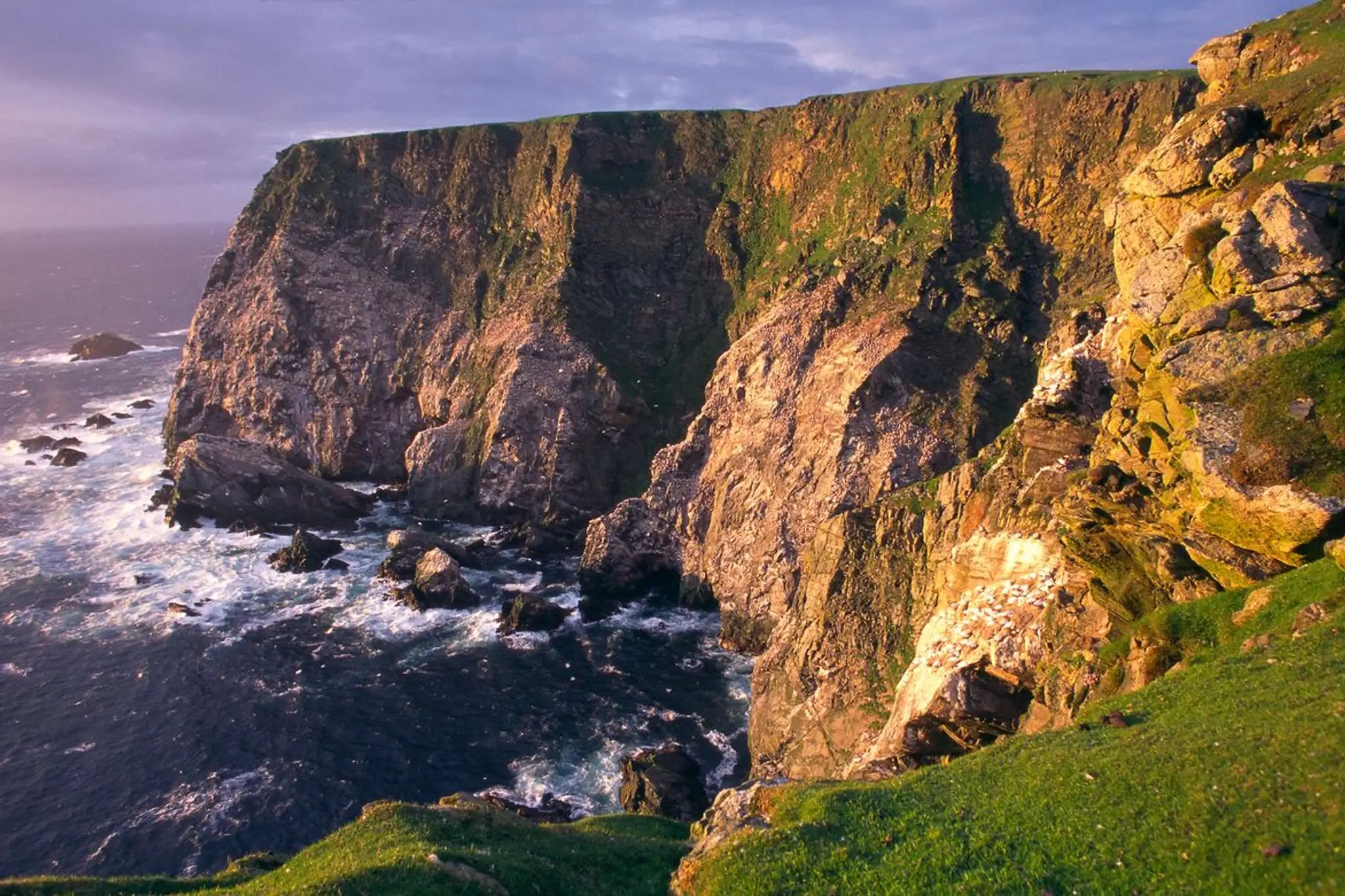
The increasing corpus of palaeoenvironmental data continues to point to early Holocene arboreal cover across Shetland, gradually replaced by expanding blanket peat and heathland species from at least the Early Neolithic. However, the chronology of blanket peat formation and associated woodland decline across Shetland still remains poorly understood. The processes are complex, lack uniformity and have a high degree of local variation. The coastal regions are defined by sounds, voes and areas of low-lying saline and now stoney soils which have historically been a focus for settlement agriculture, interspersed with high coastal cliffs.